The Early Origins and Development of the Scatterplot | Journal of the History of the Behavioral Sciences
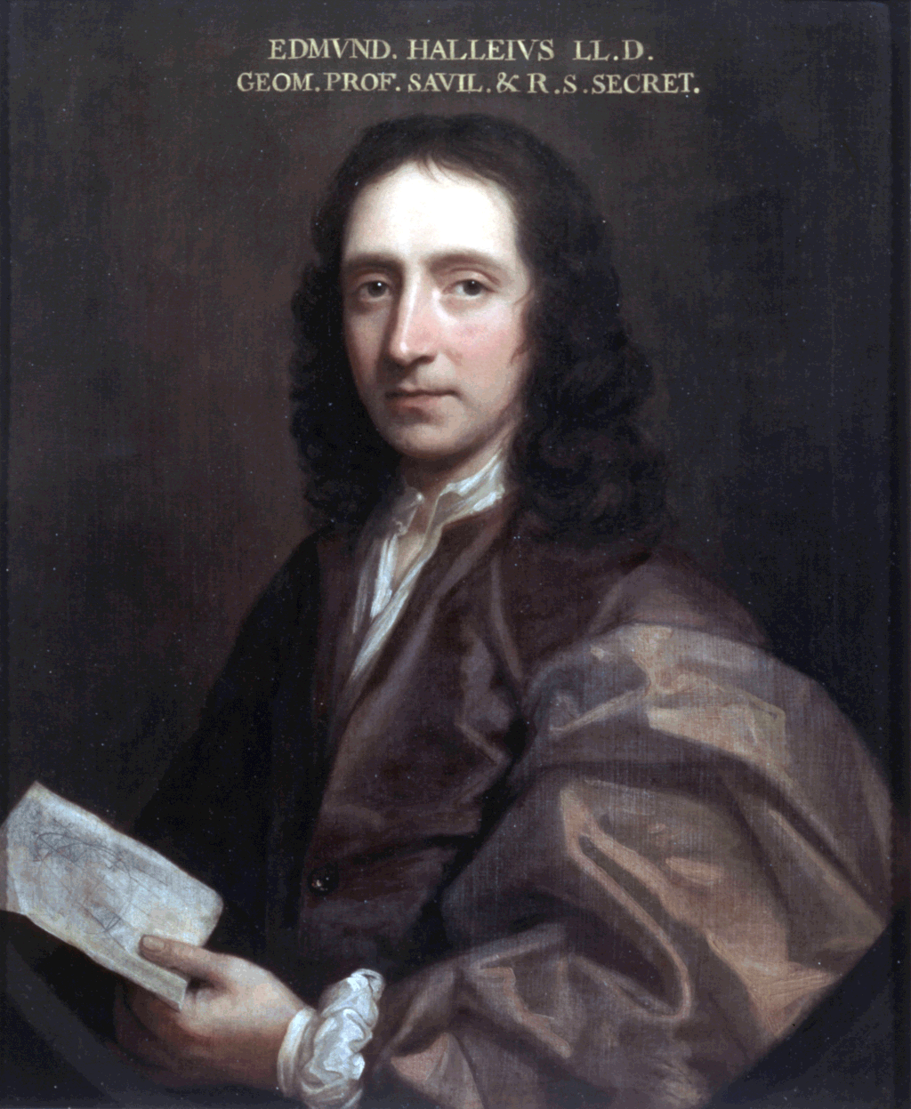
“Maps showing physical elevation iconically (mountains, valleys) had long been used, but in 1701, Edmund Halley (see reproductions in Thrower, 1981) introduced the idea of the contour map to show curves of equal magnetic declination (isogons), the first use of a data-based contour map of which we are aware.”
Collecting the Maps of the Coronavirus Pandemic | CityLab
“Lately those librarians have had their hands full. John Hessler, a specialist in modern cartography and GIS at the Library of Congress, is collecting the maps of the coronavirus pandemic.”